
dashpack.
English

App Screens

GPS dashboards, ride recording and group maps on your phone. Add optional DashPack Connect for supported bike telemetry.

Calm ViewLocalized app design previews · simulated data

App Screens

Calm View

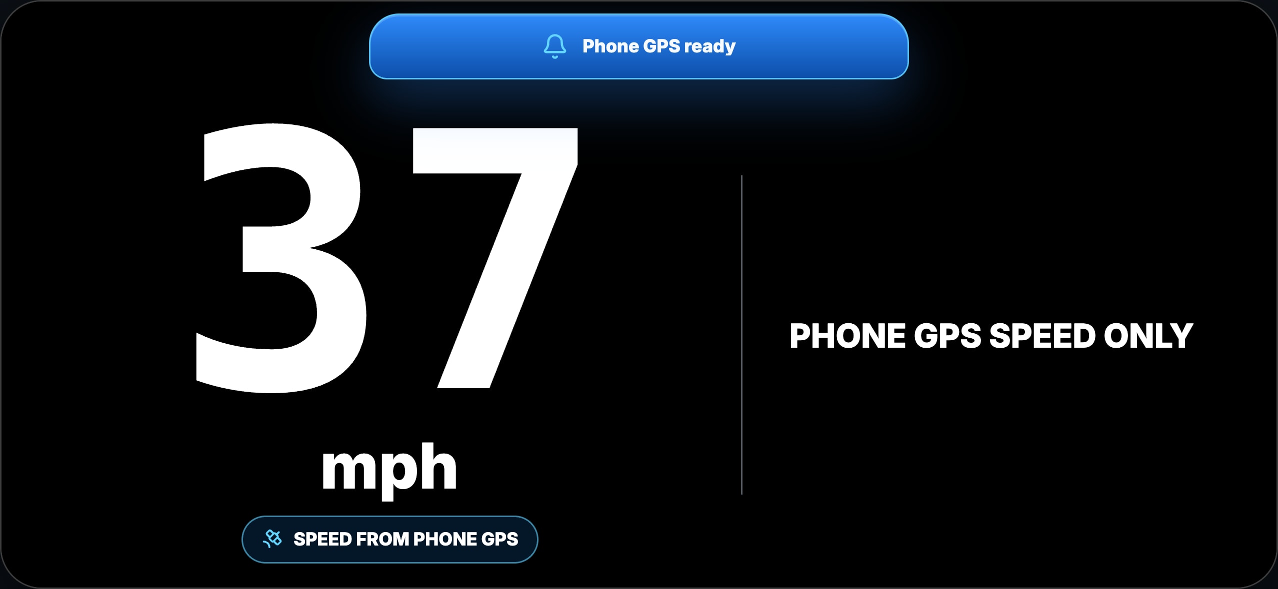
Phone GPS speed in a focused riding display. Location permission and a usable GPS signal are required.

How you use it

Mount your phone, open Calm View and see your GPS speed in a focused display while you ride. Start with your phone alone.

What you need

Location permission and a usable phone GPS signal. No Connect hardware is needed.

← Back to all screens
Comm View · connectedLocalized app design previews · simulated data

App Screens

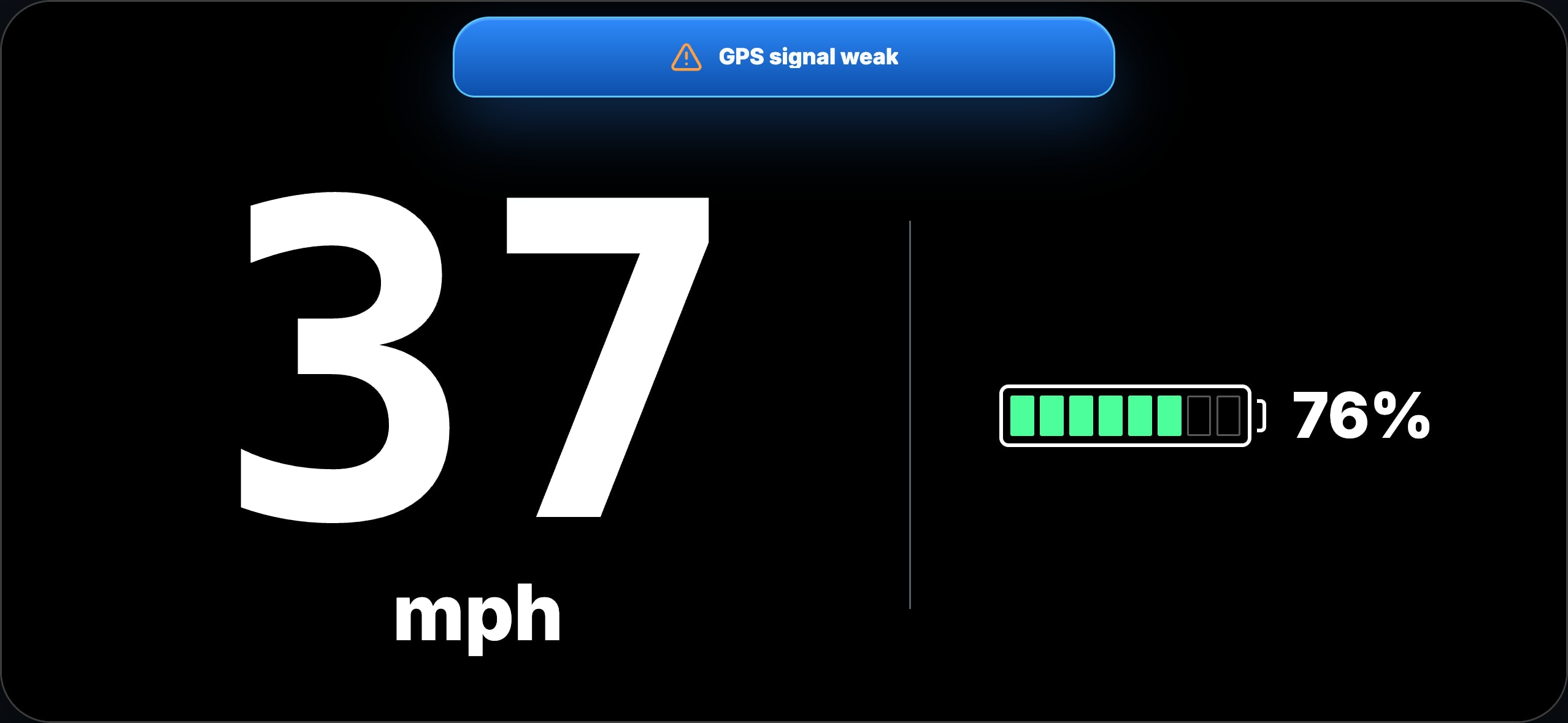
Comm View · connected

The outdoor speed-and-battery layout. Bike battery data requires compatible Connect hardware and verified telemetry.

How you use it

Keep your phone GPS speed in view and add the bike battery level when a compatible DashPack Connect is connected and sending verified data.

What you need

Phone location for GPS speed. Compatible Connect and fresh supported telemetry for bike battery data; missing data is not a battery reading.

← Back to all screens
Ride Mode · EcoLocalized app design previews · simulated data

App Screens

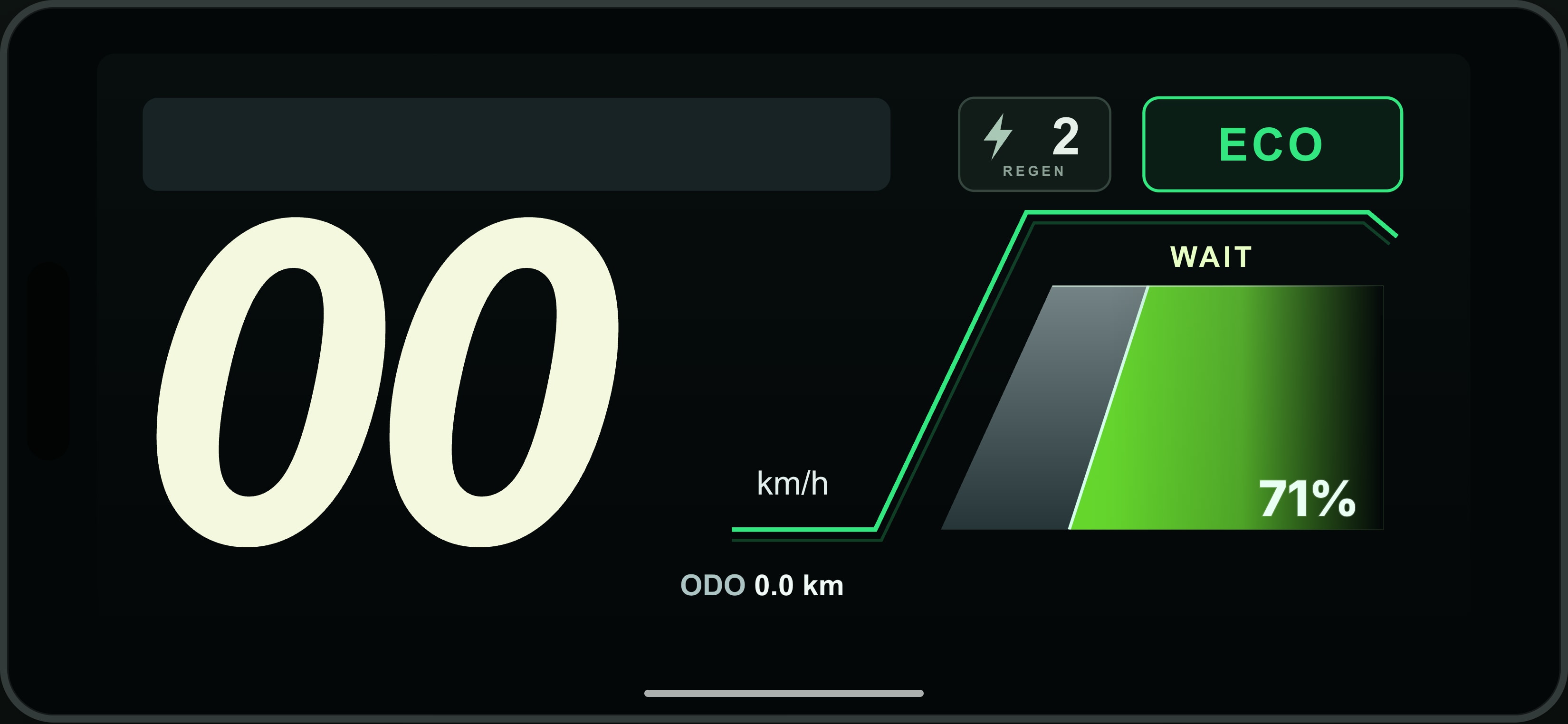
Ride Mode · Eco

Landscape instrument with speed and supported bike status. GPS can provide speed; bike-only fields need verified Connect data.

How you use it

Use the landscape instrument to read speed and supported bike status together. The Eco styling reflects the reported mode; it does not switch your bike into Eco.

What you need

Compatible Connect for bike-specific fields such as battery, mode and regeneration where supported. GPS speed needs phone location permission.

← Back to all screens
Sport · mode variantLocalized app design previews · simulated data

App Screens

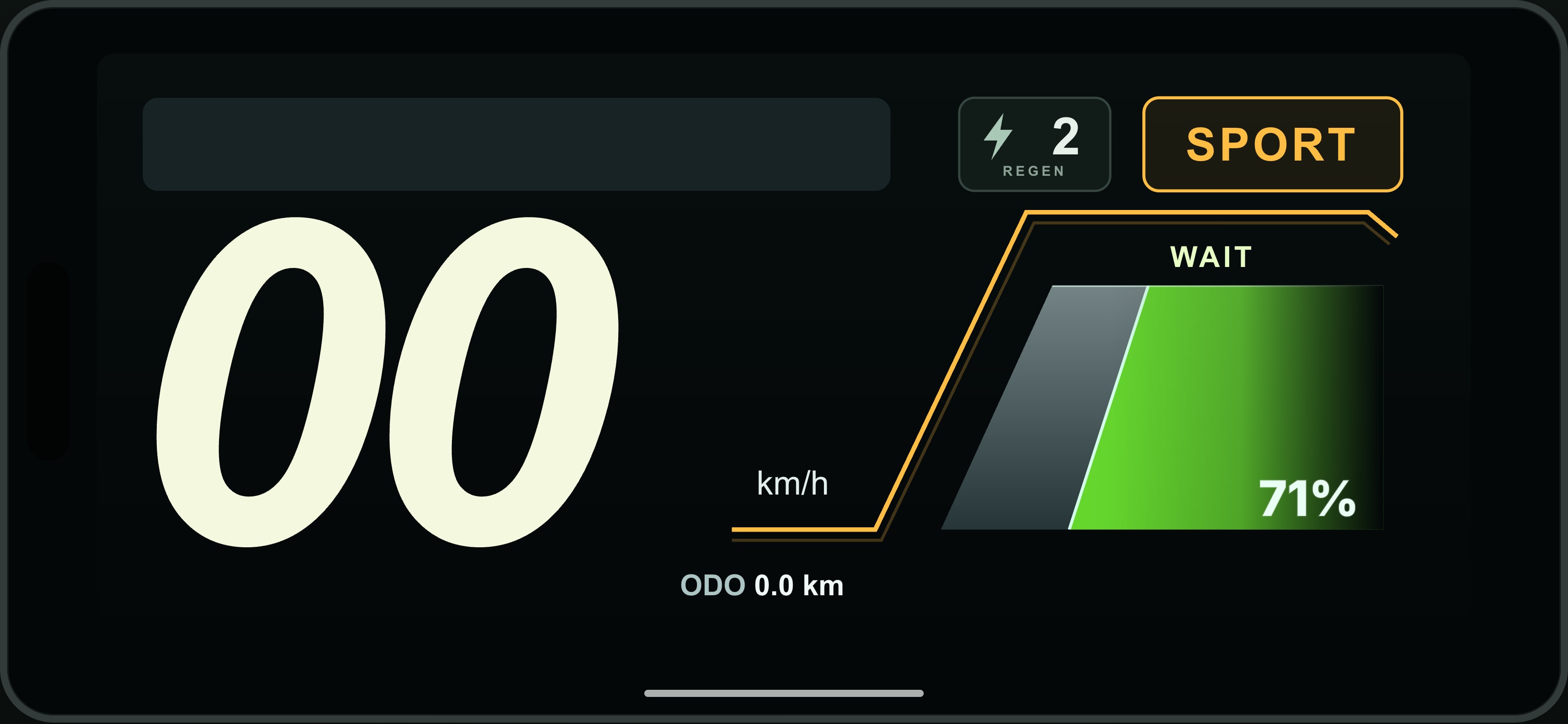
Sport · mode variant

Amber mode styling for Sport telemetry. Connected bike values appear only when supported and verified.

How you use it

Read the ride instrument with the amber Sport mode treatment when Sport telemetry is reported. The display is a visual mode variant, not a tuning or control button.

What you need

The same verified data requirements as Ride Mode. Available fields depend on the mapped bike and Connect connection.

← Back to all screens
Hyper · mode variantLocalized app design previews · simulated data

App Screens

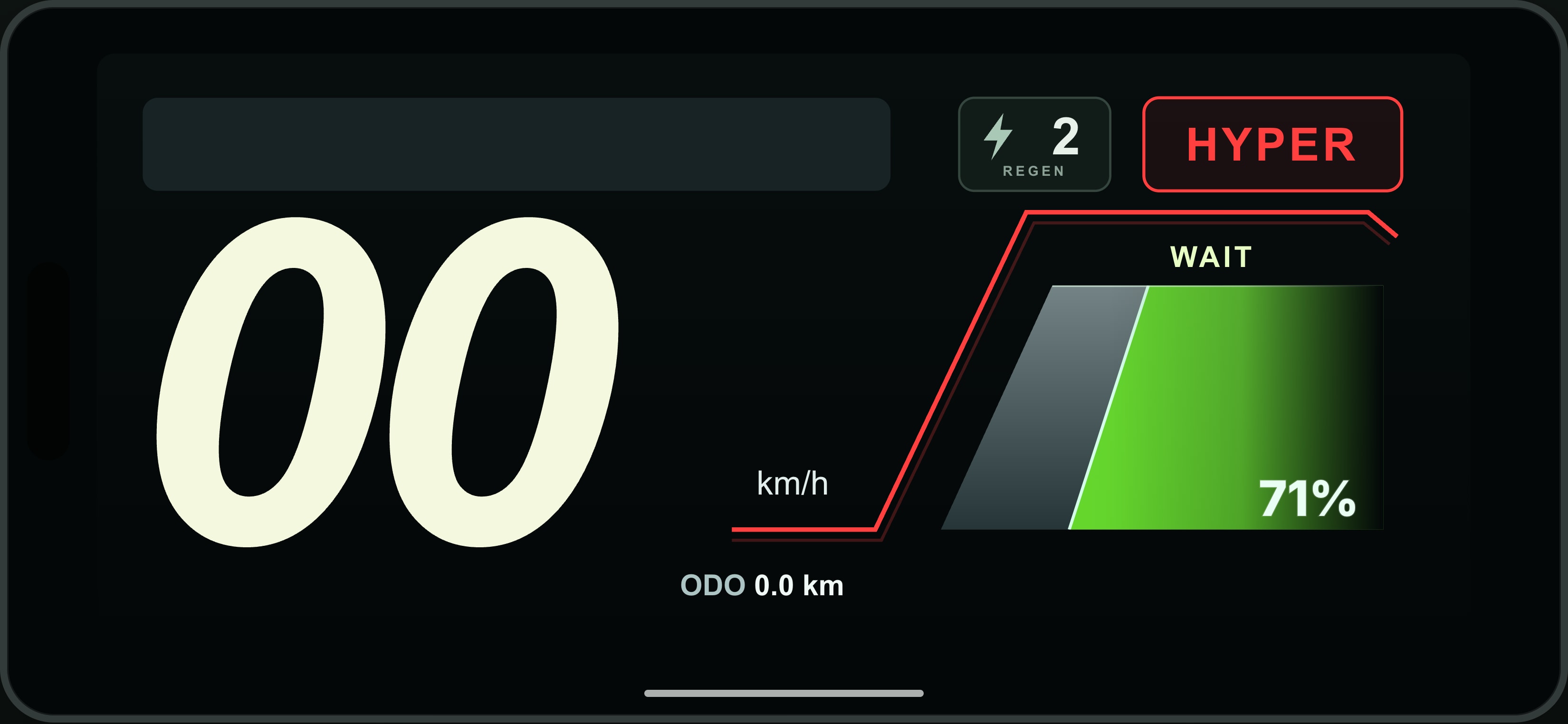
Hyper · mode variant

Red mode styling for Hyper telemetry. Displaying a mode does not control or change the bike.

How you use it

Read the ride instrument with the red Hyper mode treatment when Hyper telemetry is reported. A mode label does not increase power or change bike settings.

What you need

The same verified data requirements as Ride Mode. Available fields depend on the mapped bike and Connect connection.

← Back to all screens
Map ViewLocalized app design previews · simulated data

App Screens

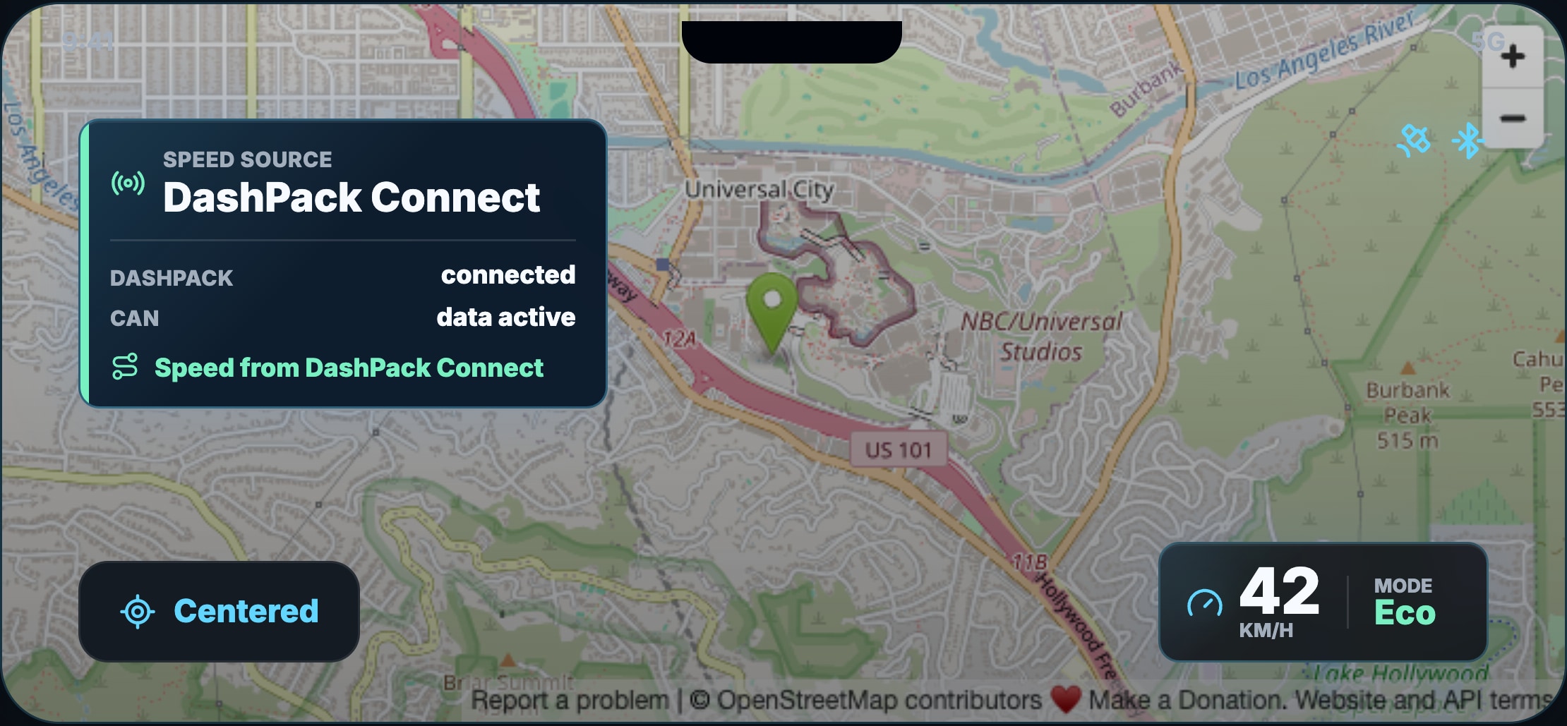
Map View

Follow your position and speed on the map using your phone. Sign-in and location permission are required.

How you use it

Open your personal map to see where you are and keep speed in view. Center the map on your position as you move. Phone GPS supplies your location; supported Connect data can add bike speed. This is your own ride context, while Group Map adds approved riders.

What you need

Sign in and allow location access. A usable GPS signal supplies your position; internet is needed to load map data. Connect is optional for phone GPS use.

← Back to all screens
Group MapLocalized app design previews · simulated data

App Screens

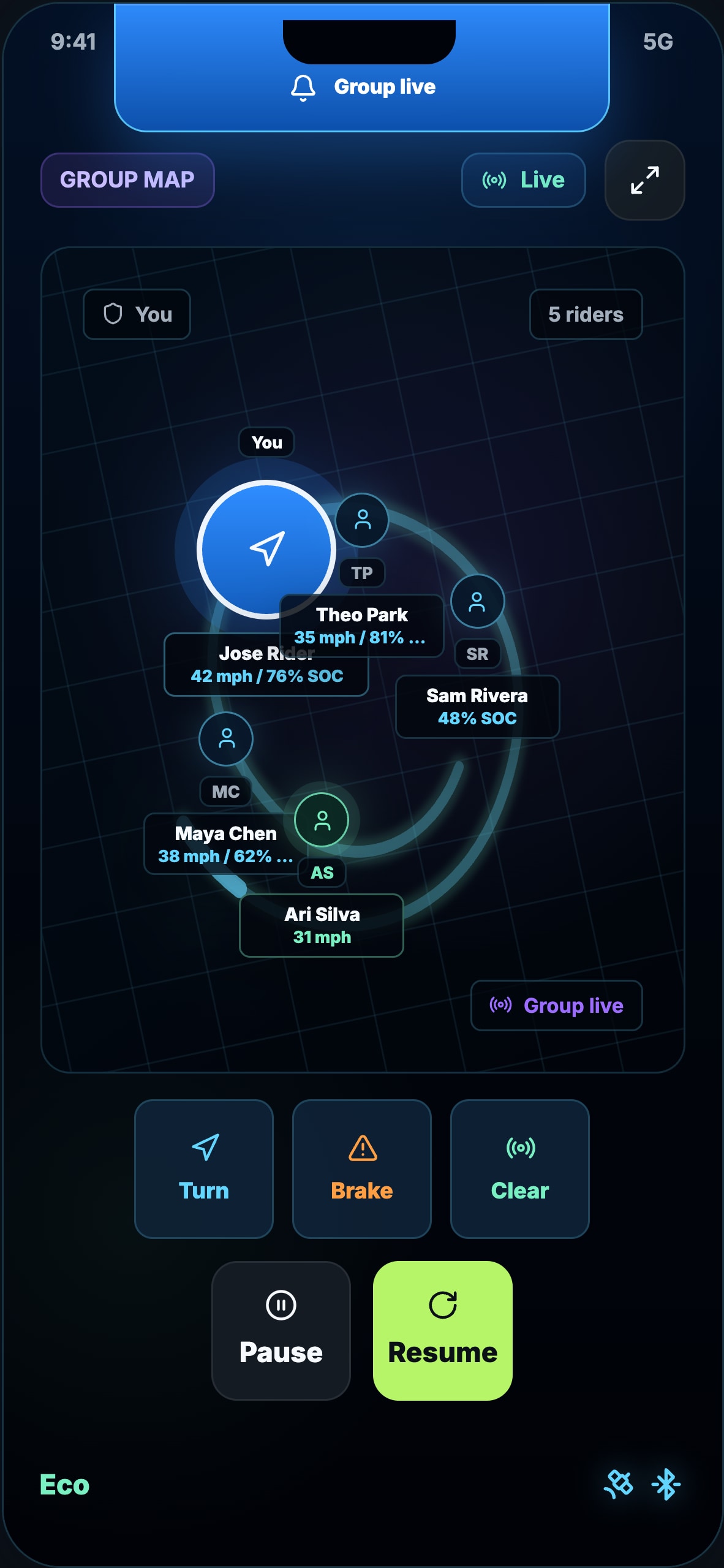
Group Map

See approved riders through internet sharing or a local Connect mesh session.

How you use it

Create an offline riding group, share its QR invitation and approve riders nearby. Phone-only group sharing remains available over the internet.

What you need

Each offline rider needs compatible DashPack Connect hardware and firmware. Sign in before heading out, allow location access and keep DashPack open while sharing. Mesh depends on radio links between riders; terrain and distance affect connectivity. Map loading and cloud features may still need internet.

← Back to all screens
Ride recording & replayLocalized app design previews · simulated data

App Screens

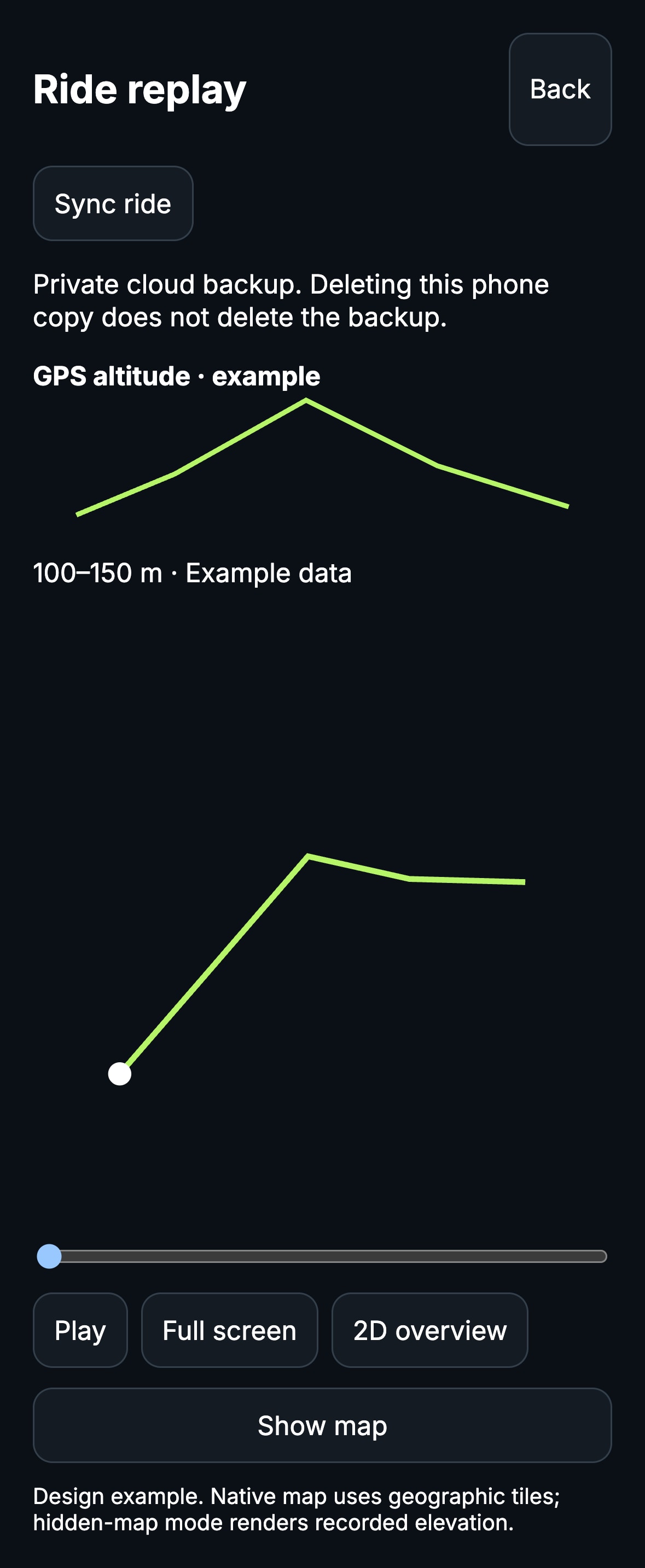
Ride recording & replay

Save GPS routes and review recorded rides, including 3D route views. Available Connect telemetry can accompany the recording.

How you use it

Review your recorded route in 3D, explore its elevation profile, and analyze laps with lap times, fastest lap and a selectable start/finish point. Results depend on the recorded GPS data. Start a recording to save your GPS route, then stop and save it. Open a saved ride to review the track and recorded values, including the available 3D route review. Compatible Connect telemetry can accompany the recording. Keep the app open during recording.

What you need

Phone location permission and GPS for route capture. Cloud backup requires an account and internet. Deleting a phone copy does not delete a cloud backup; Connect is optional.

← Back to all screens
Live Activity · iPhoneDesign preview from native iOS source · simulated values

App Screens

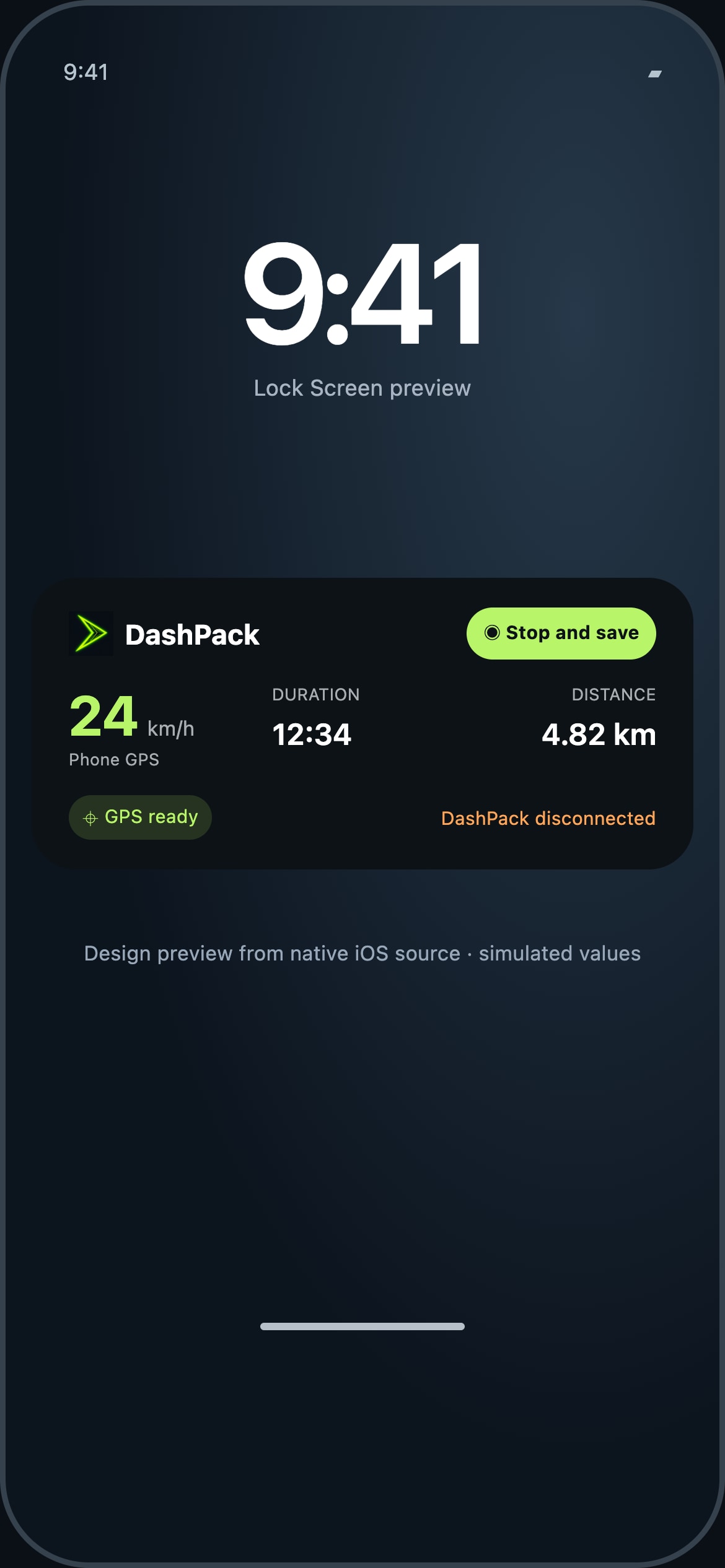
Live Activity · iPhone

Your recording at a glance on the Lock Screen, with Dynamic Island views on supported iPhones.

How you use it

Start recording in DashPack to request a Live Activity. The Lock Screen card shows speed and its source, elapsed time, distance, GPS status and Connect/bike-data status. Tap to return to the recording map; Stop and save opens the app’s stop flow. Stale updates replace speed with an unavailable state. Stopping recording ends the activity.

What you need

iOS 16.2 or later, Live Activities enabled and location permission for recording. Dynamic Island requires a supported iPhone. Connect is optional; phone GPS can supply ride speed. iOS controls availability and background execution, so continuous updates are not guaranteed. Lock Screen values can be visible to others.

← Back to all screens
Join the hardware waitlist